Usage examples
This section includes several usage examples that cover most of the use cases that Jason could support. Go to the quick start guide for a n example of a basic usage with a single rover file.
This section will use the term rover instead of receiver in order to distinguish it from a reference receiver (or base receiver), which is usually static and is used to provide corrections to the (usually) moving (roving) receiver.
Rover and base files
If the area you are surveying does not have a nearby CORS station, you can use your own reference GNSS receiver. During the campaign make sure you collect data at the same time as your rover and then process the rover GNSS data together with the GNSS data from the base station.
To execute this example, follow these steps:
1- Download one or several of the test datasets listed below
| Use case description | Rover file | Base station file | Event file |
|---|---|---|---|
DJI Phantom 4 RTK drone [*] |
Rover | Base station | events file |
| Topodrone on a Mavic 2 Pro | Rover | Base station | Within rover file |
| Rokbun's ARGONAUT on a drone | Rover | No base station | Within rover file |
| Septentrio Mosaic X5 driving | Rover | Base station | No events |
[*] Courtesy of Terradroneology
2- Log in with your account and Jason and go to the "GNSS processor" tab.
3- Drag-and-drop the two downloaded files at the rover and base station boxes, as shown below.

4- Press "Process file" and wait for the process to finish. The rest of the steps are the same as those of the quick start guide.
An important note to consider is regarding the base station coordinates. If the
input file is in Rinex format and you are confident that the coordinates of the
APPROX POSITION XYZ header field are accurate, you do not need to do anything else. However,
you can indicate a proper set of coordinates for the base station in the field
"External base station position (optional)" in the form of latitude, longitude
and height. Latitude and longitude shall be expressed in meters while the height
should be expressed in height above the ellipsoid.
Also note that the formats supported by the base station are the same as the ones supported by the rover receiver.
Processing smartphone data
One of the features of Jason is the ability to process GNSS raw measurements logged by smartphones. To do this, you can record such data using various alternatives:
- Store RINEX data using an app (from e.g. Geo++ or NSL)
- Store raw measurements using Google's GNSS logger
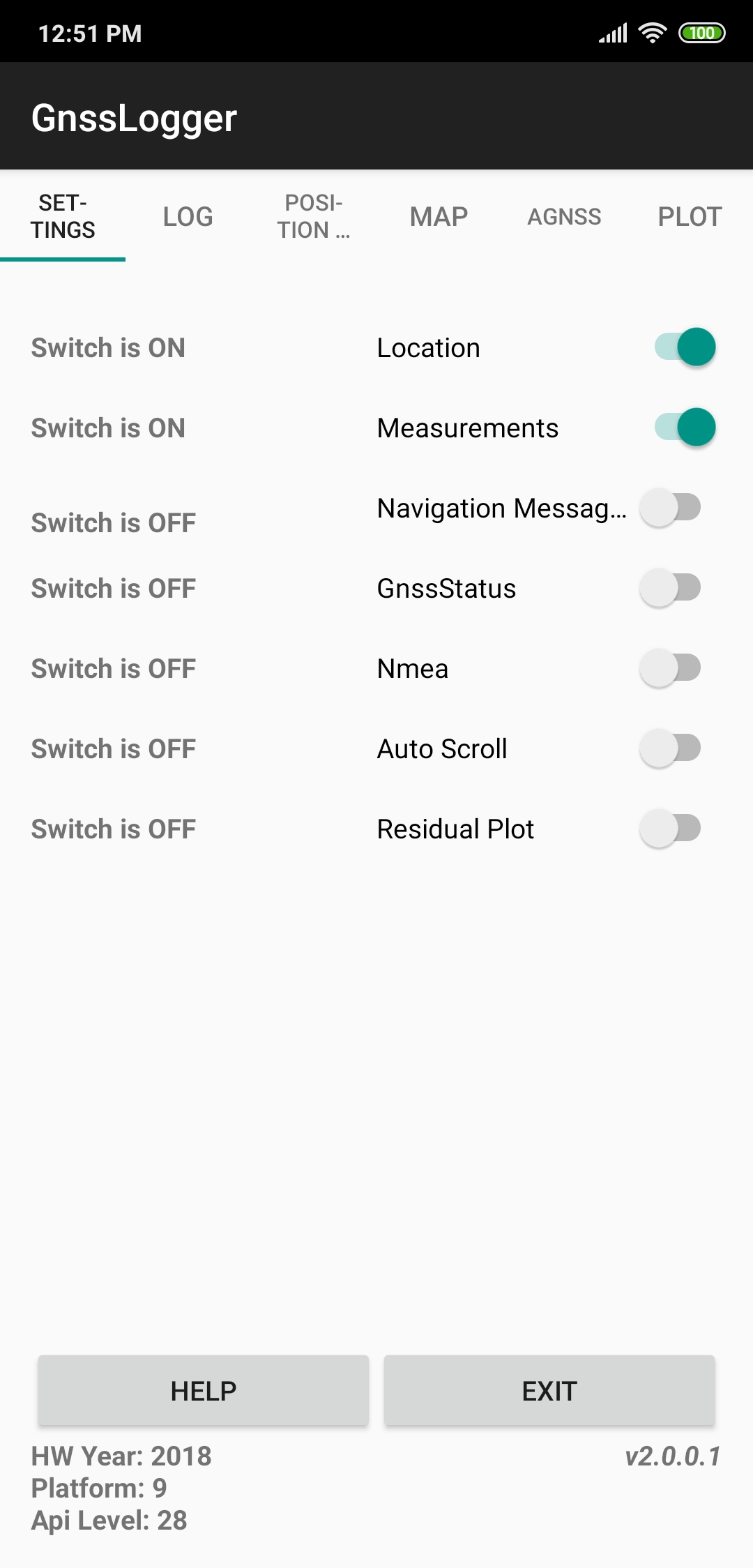
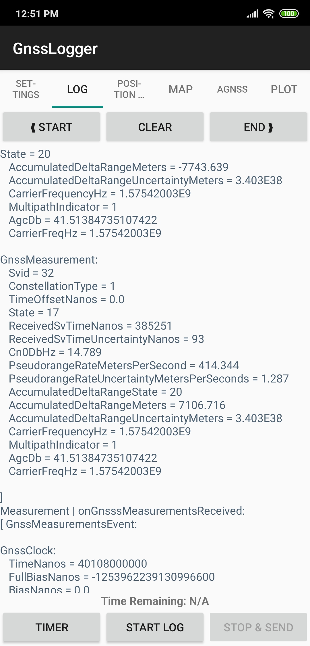
We recommend the usage of Google's app as Jason can directly ingest the files generated by it. Just start the app and make sure that both the Location and Measurements switches are turned on (see left panel of lower figure). Then head towards the LOG tab and click START LOG (at the bottom of the screen). This will start recording the measurements.
| Main GNSS logger page | Log tab |
|---|---|
 |
 |
Once the data take is finished, you will have a gnss_log_<date>.txt file in your smartphone
(usually under the folder gnss_log). To process this file you have 2 options:
- Directly from the smartphone: open the smartphone browser and go to the Jason web page. Head over "GNSS processor" and select the file you want to process, the smartphone will open then the app to browse the files you have in your device. You will be able then to select and upload the file.
- From a desktop computer: transfer the file to your computer and follow the process described in the quickstart
As a bonus, Jason will also deliver, besides the usual files, the Rinex files that resulted from the conversion of the GNSS logger data.
Static receiver, RTCM 3 format
The use case for this example is in the event that you deploy a base station so that it transmits the data via NTRIP to an NTRIP caster. Rover receivers can then connect to this caster but need the precise coordinates of this base station, so you use Jason to get those precise coordinates. station.
Once the base station is serving data to the NTRIP caster, the operator can
record data into rtcm3 format using e.g. rtklib's str2str tool.
After you log in into Jason, send the data, as shown in the following figure
(for a data file bcln0.rtcm3)

One point to take into account is the fact that the file conversion within
Jason does not allow the user to specify the approximate date of the file.
Therefore, unless the RTCM3 file is recent (within the same GPS week), the
RTCM3 file will not he processed. Therefore, the recommended approach would
be to convert the rtcm3 file into Rinex and then upload it to the service.
If you use rtklib's convbin tool, you can launch the command:
convbin -r rtcm3 -v 3.03 -f 3 -scan -o bcln0.rinex bcln0.rtcm3
Then upload the file bcln0.rinex to Jason.
You will get this station precise coordinates that can be further used by rovers using this station in the NTRIP caster.